Fire Weather in the Southeast
While our fire weather work began in North Carolina more than ten years ago, it quickly drew region-wide interest, which has led to opportunities to share our data, our science, and our expertise beyond our state’s borders.
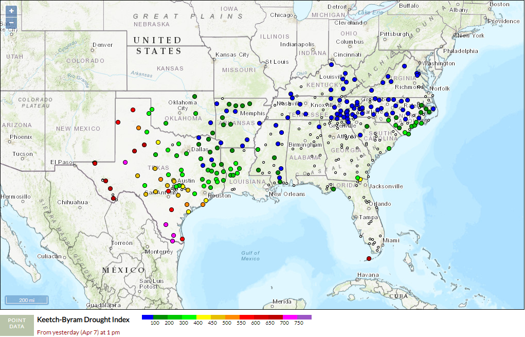
In 2017, the USDA Southeast Regional Climate Hub (SERCH) supported the expansion of the Fire Weather Intelligence Portal across the 13-state southern region, spanning from Virginia in the north to Texas and Oklahoma in the west. This included an overhaul of the Portal’s back-end to make data retrieval faster, and an update to the front-end interface to add usability for increasingly popular mobile devices.
Since then, SERCH has continued to fund enhancements to the Portal to make it more user-friendly and more accessible to a regional audience, along with undergraduate research at the SCO about fire-relevant topics such as estimating solar radiation – a key variable used in many fire danger calculations.
To spread the word about the Portal, the SCO has worked with the Southern Fire Exchange, a regional extension network delivering fire science and research to practitioners. A webinar in November 2017 offered an introduction to the Fire Weather Intelligence Portal after its expansion, and more recently, a webinar in December 2020 explored its capabilities for planning a prescribed burn, together with National Weather Service forecast products.
Working with the Southern Area Coordination Center, they have assigned IDs to our ECONet stations that are compatible with the national WIMS database — the source of the National Fire Danger Rating System estimates that are used in most states’ fire danger operating plans — and they prominently feature our Fire Weather Intelligence Portal and datasets on their Fire Weather matrix page.
Using our own experience with adding our ECONet stations to the national WIMS database, we have assisted other states including Texas and Kansas with getting their own weather station networks into this system.
As part of the NIDIS Coastal Carolinas Drought Early Warning System – now a part of the Southeast DEWS – the SCO previously studied relationships between traditional fire danger, precipitation, and drought indicators with organic soil moisture conditions. That led to our current project to better monitor organic soil moisture at selected sites across eastern North Carolina.
We have also assisted research work occurring throughout the region, such as providing historical fire danger information to the US Forest Service for a comparison of two different burning parameters – the Atmospheric Dispersion Index and Ventilation Rate – that are each used by various southeastern states.
The combined regional effort of the SCO and our many partners has helped make the Fire Weather Intelligence Portal an indispensable resource for state forestry groups, wildlife and park services, burn bosses, and land managers across the Southeast US, and the envy of states outside the region.