Recent Posts


Raleigh’s Record Snow Surprised Everyone in January 2000
It started with something familiar, at least by our wintry weather standards in North Carolina. But it didn’t take long to turn into a winter...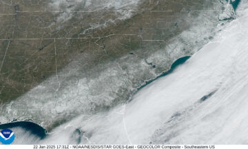
Rapid Reaction: Snow Coats the Coast in Rare Southeastern Wintry Event
The second winter storm in a week and a half affected North Carolina on Tuesday night, and this time, it was eastern areas seeing the...
Rapid Reaction: Snow Finally Returns Before an Icy Finish
After almost three years of waiting, measurable snow fell again across parts of North Carolina late last week, ending long-running and, in some cases, record-setting...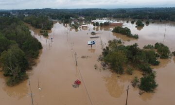
Rapid Reaction: Historic Flooding Follows Helene in Western NC
Torrential rainfall from the remnants of Hurricane Helene capped off three days of extreme, unrelenting precipitation, which left catastrophic flooding and unimaginable damage in our...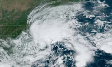
Rapid Reaction: Unnamed Storm Unleashes Torrential Rain in Eastern NC
For the second time in just six weeks, parts of southeastern North Carolina have seen more than a foot of rainfall from a slow-moving storm...
Five Years Ago, Dorian Tested Our Post-Florence Preparedness
It was setting up to be a case of disaster déjà vu for North Carolina. Less than a year removed from Hurricane Florence – our...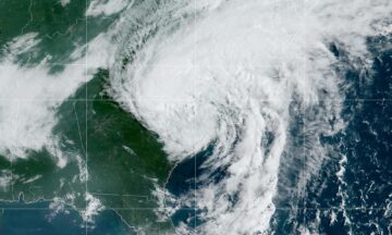
Rapid Reaction: Debby Drenches NC in Multi-Day Rain Event
An expected active hurricane season took its first swipe at North Carolina last week, with four days of rainfall from the slow-moving Tropical Storm Debby...