
Recent Posts

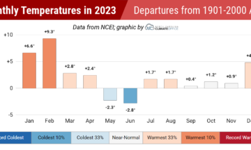
The Weather Year in Review: The Yin and Yang of 2023
Characterized by evolving large-scale patterns and a variety of conditions across North Carolina, from wet to dry and smoky to stormy, 2023 was an interesting...
Winter Gets a Warm, Wet Start in December
Fall-like temperatures carried over into December, but our fall drought faded as wetter weather emerged last month. A few areas also picked up snow, but...
A Dry Start to November Lets Drought Deepen
Dry weather continued and drought expanded in November, while temperatures ranged from wintry to warm throughout the month. We also close the book on a...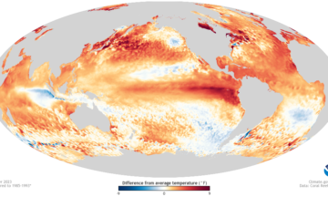
Winter Outlook 2023-24: Awaiting Wetter Weather With El Niño’s Return
Following a snow-free year in many areas and with drought now gripping more than half of the state, a pattern change – both from what...
Drought Digs In During a Bone Dry October
Dry weather dominated October, which led to drought expansion and intensification. Our average temperatures were near normal, balanced by warmer days and a few cool...
Autumn Arrived and the Tropics Came Alive in September
September saw a timely change of seasons and mostly dry weather, apart from Ophelia. That tropical storm was part of an active month across the...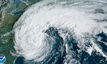
Rapid Reaction: Surprisingly Strong Ophelia Surges In
Short-lived but not short on moisture, Tropical Storm Ophelia snuck up to the coast on Friday and made for a wet and windy start to...