Research

Poor Air Quality

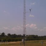
Air Quality Monitoring

A partnership with NC Division of Air Quality for monitoring air quality and weather
Heat Island

Urban Heat Islands

Mapping Raleigh and Durham as part of the 2021 NIHHIS-CAPA HeatWatch Campaign

A photo of a green frog sitting in grass with a yellow flower

CAnVAS

In development: A tool for US Fish & Wildlife Service biologists to view future climate data relevant for endangered species
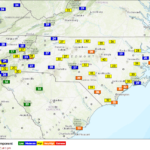
Estimates of Energy Release Component, one key fire danger indicator, displayed in the Fire Weather Intelligence Portal.

Fire Weather – North Carolina

A partnership with NC Forest Services for monitoring and planning capabilities for wildfires and prescribed burns
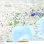
FWIP across the SE US

Fire Weather – Southeast US

A partnership with USDA Southeast Regional Climate Hub for fire monitoring and planning across 13 states
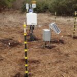
Organic Soil Moisture Station

Organic Soil Moisture

Monitoring fire risk in organic soils in eastern North Carolina

Cover Crop Conference at the Center for Environmental Farming Systems at Cherry Research Farm outside Goldsboro, NC.

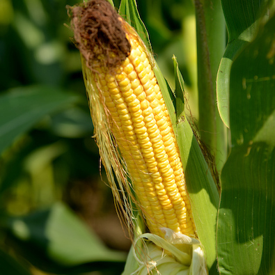
Corn Growers Dashboard

Developing a climate dashboard to support North Carolina corn growers

Photo by Mike Erskine on Unsplash

Drought Communication

Increasing the transparency and effectiveness of drought communications in North Carolina.

Climate Stripes

Climate Assessments

A plain language summary of the North Carolina Climate Science Report

Sea Turtle Hatchling
A green sea turtle hatchling, courtesy of Matthew Godfrey, N.C. Wildlife Resources Commission

Soil Temperature and Sea Turtles

Determining soil temperature differences on the beaches of Bald Head Island with relation to sea turtle gender